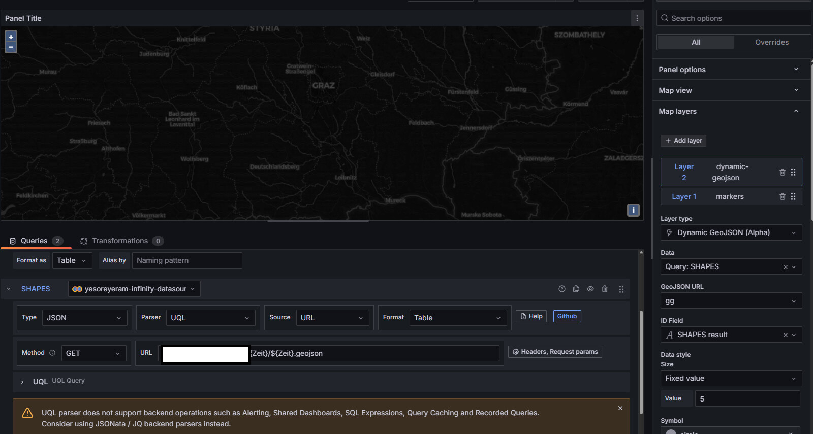
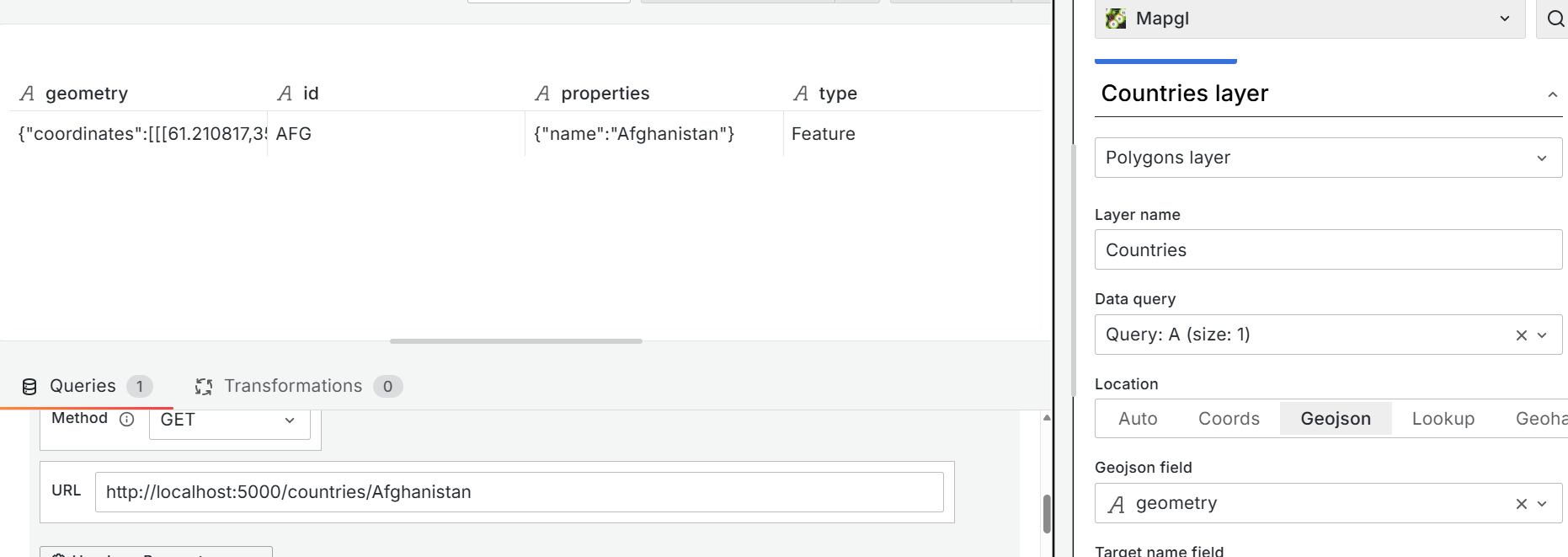
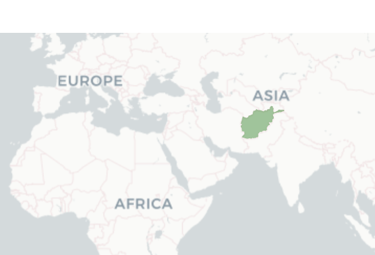
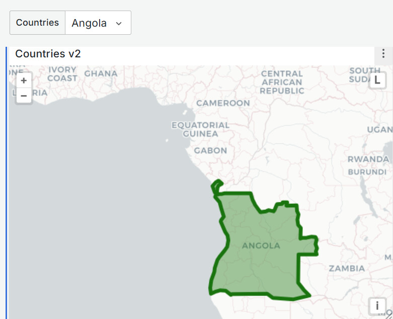
It worked for me when I chose Polygon layer.
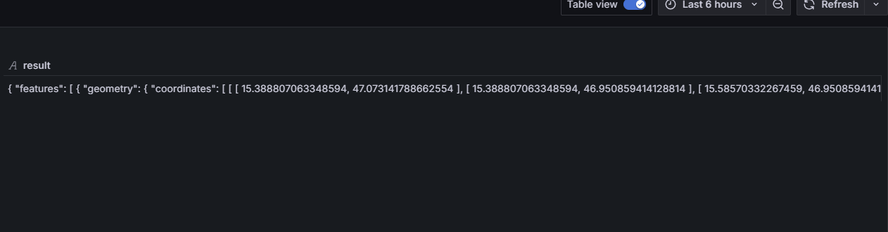
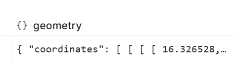
This is what my data looks like from my rest api
{"type":"Feature","id":"AFG","properties":{"name":"Afghanistan"},"geometry":{"type":"Polygon","coordinates":[[[61.210817,35.650072],[62.230651,35.270664],[62.984662,35.404041],[63.193538,35.857166],[63.982896,36.007957],[64.546479,36.312073],[64.746105,37.111818],[65.588948,37.305217],[65.745631,37.661164],[66.217385,37.39379],[66.518607,37.362784],[67.075782,37.356144],[67.83,37.144994],[68.135562,37.023115],[68.859446,37.344336],[69.196273,37.151144],[69.518785,37.608997],[70.116578,37.588223],[70.270574,37.735165],[70.376304,38.138396],[70.806821,38.486282],[71.348131,38.258905],[71.239404,37.953265],[71.541918,37.905774],[71.448693,37.065645],[71.844638,36.738171],[72.193041,36.948288],[72.63689,37.047558],[73.260056,37.495257],[73.948696,37.421566],[74.980002,37.41999],[75.158028,37.133031],[74.575893,37.020841],[74.067552,36.836176],[72.920025,36.720007],[71.846292,36.509942],[71.262348,36.074388],[71.498768,35.650563],[71.613076,35.153203],[71.115019,34.733126],[71.156773,34.348911],[70.881803,33.988856],[69.930543,34.02012],[70.323594,33.358533],[69.687147,33.105499],[69.262522,32.501944],[69.317764,31.901412],[68.926677,31.620189],[68.556932,31.71331],[67.792689,31.58293],[67.683394,31.303154],[66.938891,31.304911],[66.381458,30.738899],[66.346473,29.887943],[65.046862,29.472181],[64.350419,29.560031],[64.148002,29.340819],[63.550261,29.468331],[62.549857,29.318572],[60.874248,29.829239],[61.781222,30.73585],[61.699314,31.379506],[60.941945,31.548075],[60.863655,32.18292],[60.536078,32.981269],[60.9637,33.528832],[60.52843,33.676446],[60.803193,34.404102],[61.210817,35.650072]]]}}